Planning
To make the car drive itself we first need to plan the way we want to go.
GPS
To do this, we're going to use gps to trace the route from our current location to our target location.
Carla GlobalRoutePlanner enables us to get the route from two points given a map. We have encapsulated this function within operators/carla_gps_op.py.
The following operator will compute the route from the current position to the objective_waypoints given an opendrive map.
  - id: carla_gps_op
    operator:
      python: ../../carla/carla_gps_op.py
      outputs:
        - gps_waypoints
      inputs:
        opendrive: oasis_agent/opendrive
        objective_waypoints: oasis_agent/objective_waypoints
        position: oasis_agent/position
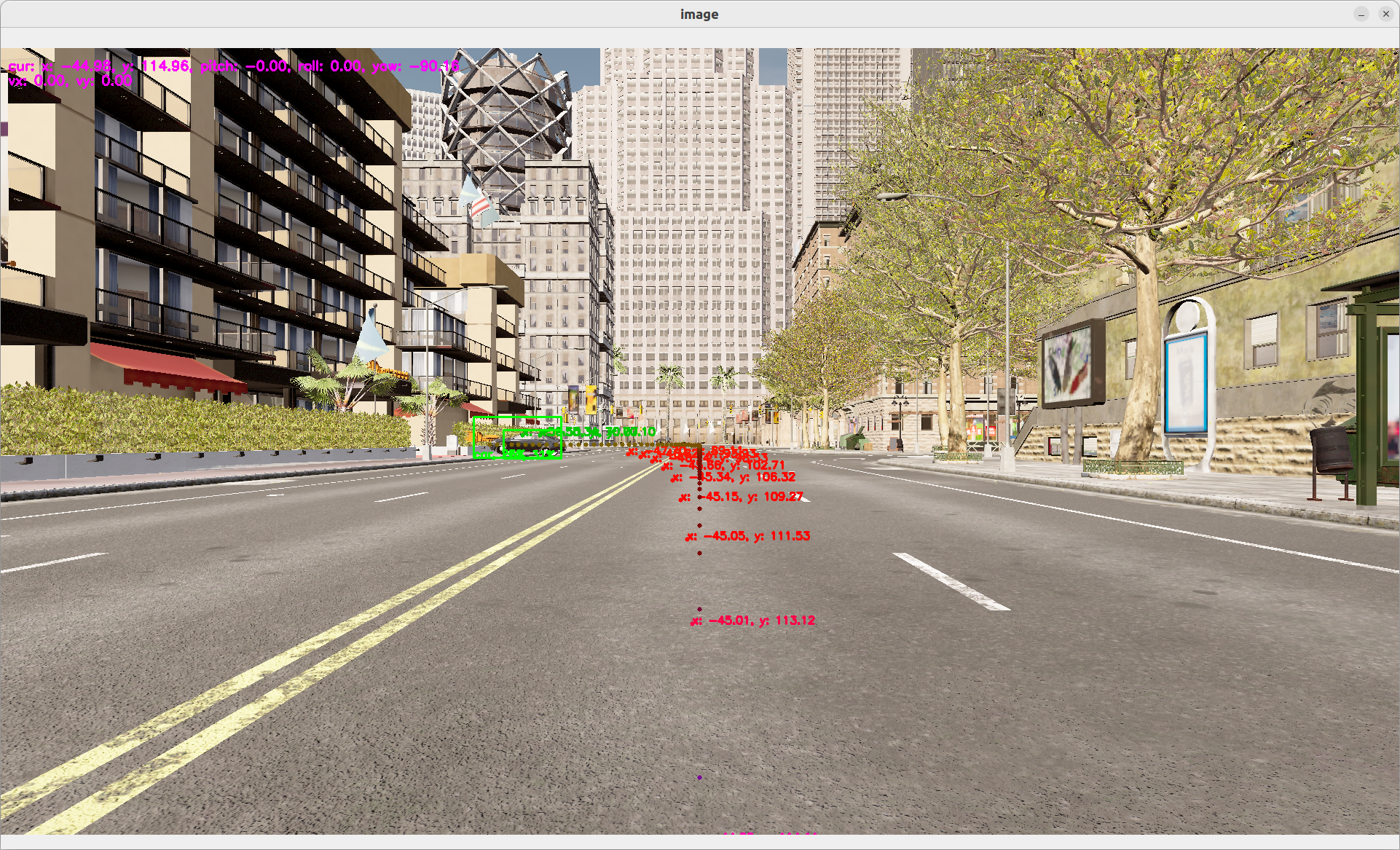
The waypoints are defined as a an array of
x, y, speedasfloat32waypoints, with global coordinates.
For more information on
gps, go on ourgpsdetail page
Planner
The GPS waypoints does not take into account obstacles. To avoid collision, we can implement a motion planner that can avoid obstacles.
We're going to reuse a model called fot (Frenet Optimal Trajectory) as a black box, that take as input a starting location and a goal waypoints, as well as a list of obstacles and outputs the best waypoints to follow.
  - id: fot_op
    operator:
      python: operators/fot_op.py
      outputs:
        - waypoints
      inputs:
        position: oasis_agent/position
        obstacles: obstacle_location_op/obstacles
        gps_waypoints: carla_gps_op/gps_waypoints
To test both functionallities:
dora up
dora start graphs/oasis/oasis_agent_planning.yaml --attach
For more information on
fot, go on ourfotdetail page